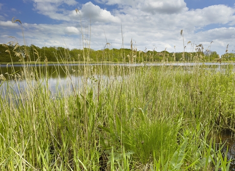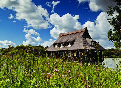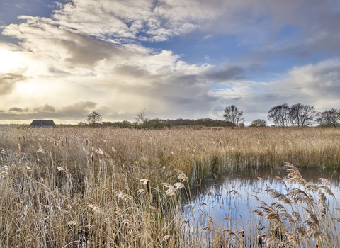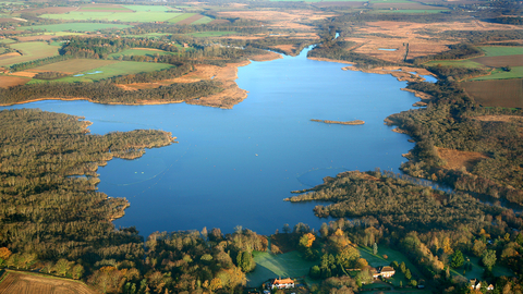
Barton Broad from above (credit: Mike Page)
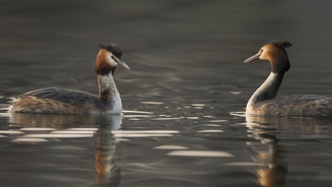
Great crested grebes cropped (credit: Andrew Parkinson/2020VISION)
Barton Broad and Marshes
Location
OS Map Reference
TG 350 208View on What3Words
Know before you go
Dogs
When to visit
Opening times
Dawn till dusk, every day, all year roundBest time to visit
All year roundAbout the reserve
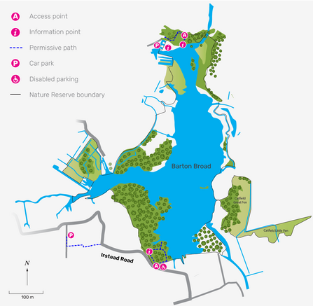
Enjoy this stretch of open water and its rich wildlife via a short, accessible trail through wet woodland, known as ‘carr’. You can take in the view across Barton Broad and its surrounding fen areas from the viewing platform. From there, you’ll see the common tern nesting rafts out on the water.
The surrounding fen areas are home to a number of rare plants and invertebrates, including the Norfolk hawker dragonfly, swallowtail butterfly, goldeneye duck, and crested-buckler fern.
Purchased by NWT in 1945, Barton is the second largest of the Norfolk Broads. The broad was dug out in the Middle Ages for its peat soil, which was used as fuel. In the 1700s, the River Ant was diverted to flow through Barton to create a navigation route.
Today, the broad’s story continues as an example of successful environmental work. The broad was originally famed for its clear water and rich diversity of aquatic plant life. In the second half of the 20th century, water pollution led to increasing nitrate and phosphate levels which increased the amount of microscopic algae, turning the water a deep green colour. This was detrimental to other plants and animals, causing a fall in biodiversity.
Since the 1990s, the water quality has steadily improved thanks to a number of water improvement projects. The improving water quality has allowed fish, invertebrates, and aquatic plants to make an impressive comeback.
Species
Habitat
Contact us
Environmental designation
Seasonal highlights
Spring
Birds: kingfisher, marsh harrier.
Mammals: otter, water vole.
Plants: yellow flag iris, marsh marigold, ragged robin.
Summer
Birds: common tern, reed and sedge warblers.
Invertebrates: swallowtail butterfly, banded demoiselle dragonfly, Norfolk hawker dragonfly, black-tailed skimmer dragonfly.
Plants: milk parsley, crested-buckler fern.
Autumn
Birds: great crested grebe, kingfisher.
Winter
Birds: goldeneye, tufted duck, pochard, teal, bittern.
