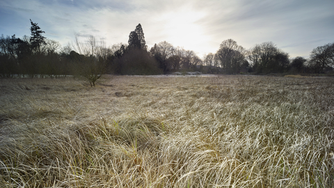
Rushmeadows (credit: Richard Osbourne)
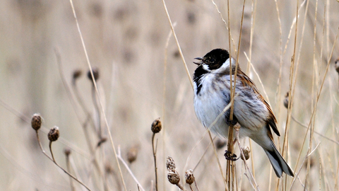
©Amy Lewis
Rushmeadows
The wetland haven of Rushmeadows lies in the Dereham stream valley and is home to a variety of plants and birds.
Location
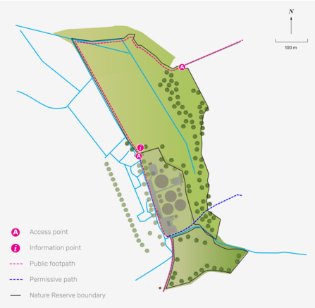
NWT Rushmeadows is 1km (0.6 miles) north-west of Dereham. Leave the centre of Dereham (Market Place) on the B1146 Swaffham Road. After approximately 0.5km (0.3 miles) turn right onto Rushmeadow Road.
After 0.75km (0.5 miles) turn right again towards the sewage works. After a further 200m there is limited parking for one or two cars on the verge. Follow public footpath to the left of the sewage works.
After 0.75km (0.5 miles) turn right again towards the sewage works. After a further 200m there is limited parking for one or two cars on the verge. Follow public footpath to the left of the sewage works.
NR19 2NW
OS Map Reference
TF 976 133Know before you go
Dogs
When to visit
Opening times
Dawn till dusk, every day, all year roundBest time to visit
Spring and summerAbout the reserve
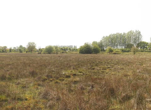
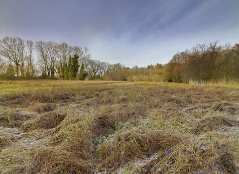
This nature reserve of fen, grassland and wet alder carr woodland supports a number of wetland specialist plants such as bogbean, marsh orchid, and tubular dropwort. It is also home to many birds including snipe, reed bunting, and several species of warbler. Visit in spring and summer for the best chance of spotting them.
Habitat
Contact us
Environmental designation
County Wildlife Site
Site of Special Scientific Interest (SSSI)
