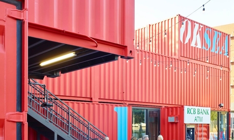
Sweet Briar Marshes community hub concept art (credit: NWT)
Phase 3 – hub and facilities
From the east section of the ‘Upland Route’ there are good views over the most sensitive and protected parts (Site of Special Scientific Interest/SSSI) to the flood meadows. A series of lookout decks are proposed along this route at gaps in the treeline, with seating nearby. Other smaller lookout points and bird viewing screens will be provided in appropriate locations. In the western section, another lookout will provide views east and west along the flood meadows.
We hope to provide outdoor natural ‘classrooms’ on and next to Sweet Briar Marshes for our valuable work with schools and young people. These areas will have natural log seats and removable shelters.
We hope that other facilities which were highlighted during the consultation can be provided in the area around Burnet Way, Sweet Briar Industrial estate and Sloughbottom Park. This could include facilities for volunteers and an information point and possibly refreshments. This will all require detailed planning and discussions with our neighbours.
