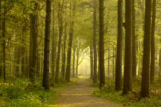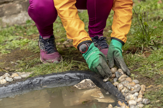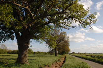
Claylands gate (credit: M. Watson)
Claylands Wilder Connections
An ancient landscape
The South Norfolk Claylands form part of the East Anglian Plain – a distinctive landscape found on a belt of boulder clay that lies over chalk and runs through Suffolk and south-east Norfolk. Land use in the South Norfolk Claylands is mainly arable, with scattered woodlands. It is an area noted for its ancient landscape, characterised by high hedges, pollarded trees, and open fields and commons.
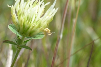
The Claylands area is a relic of glaciation from about 480,000 years ago, when an ice sheet moved south across eastern England, eroding chalk and Jurassic clays along its path. The ground-up deposits left by the ice formed a chalky boulder clay soil, interspersed with areas of fine sand and gravel. This variation in soil can be seen in the flora of grasslands and in woodlands that are home to a number of key species, such as sulphur clover and turtle doves.
Over time, habitats have changed. Ancient meadows have been converted to arable fields; trees, hedgerows and ponds have been removed to make way for more intensive farming and development. Relict habitats remain but are patchy and fragmented across the landscape. Habitat loss and fragmentation can reduce the size of wildlife populations and hinder their movement between increasingly isolated habitats, threatening the future of certain species.
The key to reversing these trends is improving and restoring connectivity between relict patches of habitat. By improving our understanding, then taking targeted action to restore features such as ponds, hedges, meadows, and woodland, this will create new 'stepping stones' of habitat and wildlife corridors. In turn, these connected habitats will allow species to more easily and safely move through our countryside, improving their long-term prospects for survival.
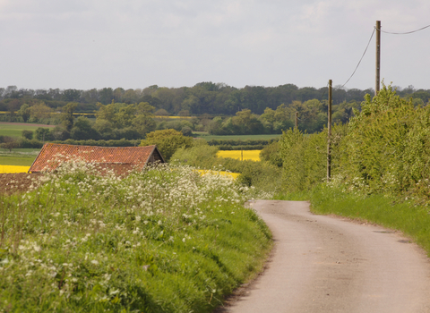
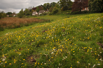
Country lane in the Claylands (credit: M.Watson)
Watch video highlights from the Claylands Wilder Connections Project
Watch video highlightsClaylands Wilder Connections project
Between October 2021 and March 2023, we ran the Claylands Wilder Connections project. During this project we supported communities and landowners to improve the connectivity of wildlife habitats across key parts of South Norfolk. Our focus was on the fabric of the countryside, including hedgerows, ponds, copses, trees, and meadows.
We worked with local communities and landowners to identify and deliver relevant projects on the ground with the aim of improving habitat connections for wildlife, while increasing biodiversity and resilience to climate change within the existing landscape.
Working with landowners in the target areas was vital to delivering the project’s ambitions. This involved farmers, parish councils, community groups, schools, and other individuals and organisations. The project explored how we can best support informed decision making and implement best practice land management by providing data, resources and training. The project also had a significant budget for facilitating improvements on the ground, such as restoration and creation of ponds; new hedgerow planting and gapping-up; establishing new woodland areas; and enhancing or creating floristically diverse buffers, margins and meadows.
Key achievements of the Claylands Wilder Connections Project:
-
57 ponds restored
-
6,000 metres of new hedgerow planting and gapping up
-
1,282 trees planted
-
1.1 hectares of woodland or scrub planted
-
20 hectares of meadows, wildflower strips etc enhanced
-
36 practical conservation tasks completed, involving 101 volunteers
-
50 events run and attended by over 1,400 people
-
Production of a wide range of resources to help landowners and communities survey, plan and manage their land
Useful resources
The Claylands Wilder Connections Project was funded by the Government's Green Recovery Challenge Fund. The fund was developed by Defra and its Arm's-Length Bodies. It was delivered by The National Lottery Heritage Fund in partnership with Natural England, the Environment Agency, and the Forestry Commission.

